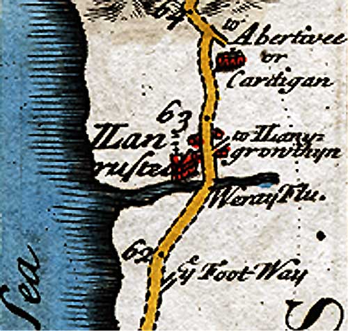
‘Britannia Depicta’ is an early road atlas of England & Wales, published by John Owen in 1720 using engravings by Emanuel Bowen. It contains over 200 road maps and a small map and description of each county. It was republished 12 times between 1720 and 1764 and I beleave this to be from the fourth edition published in 1736.
Llanrhystud in 1736, was spelt like this: Llanrusted, look at the map.

